Hi everyone,
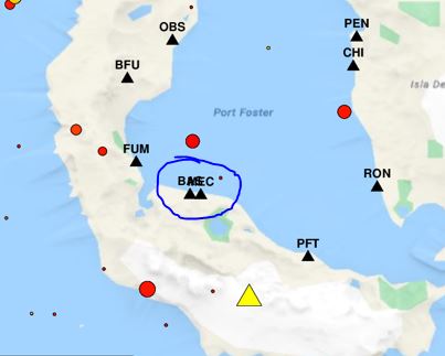
Let’s say I want to plot some symbols on a map, each of them with their corresponding label nearby. But two of the symbols are so close to each other that their labels collide (see image).
Is there a way for GMT to recognize these situations and automatically apply a different offset to these labels so that they won’t collide?
Thanks for your help!