Hi,
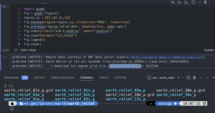
I am plotting a relief map with grdimage, however, it keeps downloading the releif data whatever how many times I run the code section. And it always downloading the 01s resolution no matter what resolution I have set. I have no problem ploting the same area directly using GMT.
Here is my pygmt code:
Blockquote
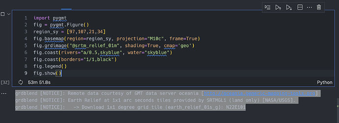
import pygmt
fig = pygmt.Figure()
region_sy = [97,107,21,34]
fig.basemap(region=region_sy, projection=“M10c”, frame=True)
fig.grdimage(“@srtm_relief_01m”, shading=True, cmap=‘geo’)
fig.coast(rivers=“a/0.5,skyblue”, water=“skyblue”)
fig.coast(borders=“1/1,black”)
fig.legend()
fig.show()
Blockquote
Here is the message I got:
Blockquote
grdblend [NOTICE]: Remote data courtesy of GMT data server oceania [http://oceania.generic-mapping-tools.org] grdblend [NOTICE]: Earth Relief at 1x1 arc seconds tiles provided by SRTMGL1 (land only) [NASA/USGS]. grdblend [NOTICE]: → Download 1x1 degree grid tile (earth_relief_01s_g): N22E101
Blockquote
Best, xin

