Dear all,
I hope all ok at your side.
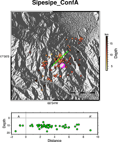
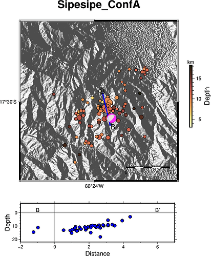
I have been trying to plot two cross section from the same map using “pygmt.project”, one vertical (NW-SE) and the other horizontal (NE-SW) cross sections. The projection are Depths Vs Distance.
So far I use one script to plot The NE-SW (A-A’) cross section (output: “231202_CrossSection_horizontal.png”) and another script to plot the NW-SW (B-B’) cross section (output: “231202_CrossSection_vertical.png”).
I was thinking to use " fig.subplot()" method, but I am not sure if "pygmt.project"will accept to work within the "fig.subplot()"methodology because I get this error (attached the script):
two_projections_subplot.txt (5.6 KB)
GMTCLibError: Module 'basemap' failed with status code 72:
basemap [ERROR]: Option -Y given more than once
basemap [ERROR]: Option -Y parsing failure. Correct syntax:
basemap [ERROR]: Offending option -Ya0i
The output I’d like to have seems like the example: subplot_advanced_examples
Thank you in advance for any suggestion.

