how can I delete the grid lines, which are going out from the map?
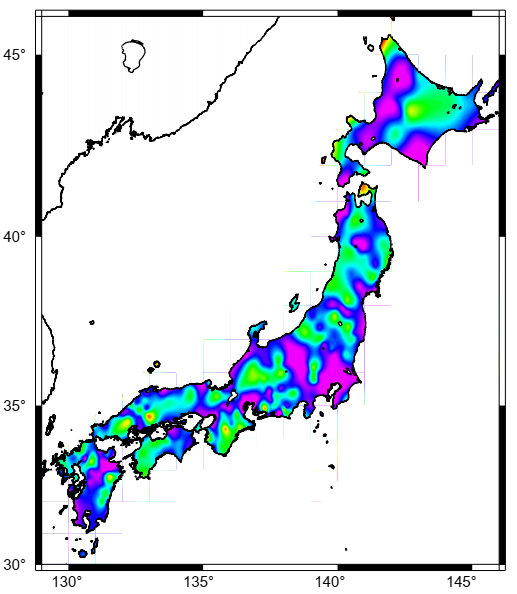
I attached the gmt script and the resulted map, as shown below.
rem xyz2grd data.txt -Gtest.grd -R129/146/30/46 -I1m -V
surface data.txt -Gtest.grd -R129/146/30/46 -I1m -V
grd2cpt test.grd -Crainbow -L-3/18 -S0.5/18/0.5 > colors.cpt
rem nearneighbor data.txt -Gtest.grd -R129/146/30/46 -I1m -V -S100k
psscale -Ccolors.cpt -D15/5/7/0.5 -B5:FREQUENCY:/:Hz: -K > testmap.ps
grdimage test.grd -Jm0.3i -Ccolors.cpt -P -K -O >> testmap.ps
pscoast -Jm0.3i -R -Ba5f0.g0./a5f0.g0.WSen -Df -A1 -W1p -P -V -O -Swhite >> testmap.ps
Looks like gs antialiasing issue. You left out important information, such as GMT version, OS used (Windows based on rem), gs -version output, and how you converted test map.ps to the PNG posted here.
1 Like
I am using GMT6.0.0 installed on windows 11.
before that, I was using old ps viewer, so these lines appear, but now I tried few minutes ago to view using gs 10.01.0, I am surprised that these lines do not appear.
Yes, you are right, it is gs antialiasing.
Could you please show me how to export the image from gs to word file, instead of using print screen.
Thank you so much, I am appreciating your help so much.
Yikes, 6.0! Please upgrade to 6.4 first.
Then read our open access G-cubed paper on GMT modern mode for other answers.
1 Like
I can’t imagine how that is even possible.