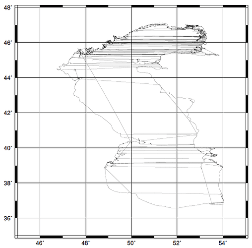
I’m trying to use gmt spatial (in classic mode) to compute areas and centroids for a bunch of polygons. I’m using a -Q+k+h option to get the area in sq km, and to retain the info on the > header, with area and centroid info appended. I’ll attach a single polygon and let you gurus try it and see whether it functions for you.
System OSX 10.14.6; GMT: Version 6.1.0_eb3eb33_2020.05.17 [64-bit] [8 cores]tmask1.txt.zip (875.4 KB)
Here is the command I’m using:
gmt spatial tmask1.txt -Q+k+h -fg > area1.txt
The first few lines that I get from area1.txt (output) looks like this:
> -Z187237.632579 (area) 50.6668881727/41.7981667092 (centroid) CCW
49.9618 37.4385
49.9646 37.4402
49.965 37.441
And I was hoping for this:
> D1|“Caspian Sea”|Russia|Europe|1|377001.91|1110000001.0|6|HydroLAKES -Z187237.632579 (area) 50.6668881727/41.7981667092 (centroid) CCW
49.9618 37.4385
49.9646 37.4402
49.965 37.441
