How to make grdfile from txt file1?
That depends. You need to give us more information. We are not mind readers.
I want to make bougar gravity map I have data in long lat and data.
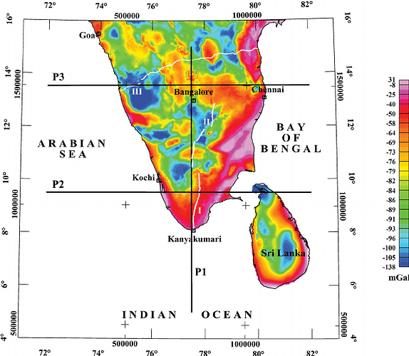
I want to make this kind of map.
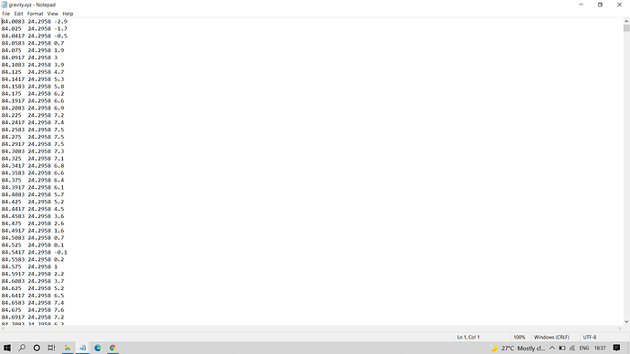
I have data in
psbasemap -JM10c -R65/100/5/40 -B5/5WSen -K -Y4 >map.ps
gmt txt2grd -i2,1,3 -R65/100/5/40 -J -O -K -fg -Goutput.gravity.txt
Now, how should I proceed.
The values in gravity.xyz looks gridded to me.
Then you should figure out what the x- and y-increment is, and the region that the grid covers and use xyz2grd;
gmt xyz2grd gravity.xyz -Ixinc/yinc -Rw/e/s/n -Goutput.gravity.nc
Then you should get a gridfile that gmt can use. Next would be to plot it (and mask areas with no data).
Tip: gmt info gravity.xyz to get the extent.
Increment you have to eyeball the textfile. I dont know of a way to check this.
gmt psbasemap -R65/100/5/40 -JM4i -B5/5WSen -K -Y4 >map.ps
gmt xyz2grd gravity.xyz -Ix1/y1 -R65/100/5/40 -Goutput.gravity.nc
grdimage gravity_nn.nc -R -J -O -K -Cfinal.cpt >>map.ps
gmt pscoast -R -J -O -K -Na >>map.ps
psscale -D/-2/12/0.5h -B10::/:mgal: -Cfinal.cpt -O -K >> map.ps
#pscolorbar -Dx1i/7i+w4i/0.5i+h -Cfinal.cpt -Ba -B+tcontinuous -I0.5
This is my script but I am not able to proceed.
Your xyz2grd command should be
gmt xyz2grd gravity.xyz -I<number>/<number> -R65/100/5/40 -Goutput.gravity.nc
I dont know what the increment in the grid is (or even if it is a grid at all), but something like
gmt xyz2grd gravity.xyz -I0.0167/0.0167 -R65/100/5/40 -Goutput.gravity.nc
may work.
Good progress!
-
Please 1: Don’t post screen-captures. Copy past the text and wrapp it pairs of triple back ticks (```) for formatting
-
Please 2: Pay attention to the error messages. If your system is saying
xyz2grd ... no such file (gravity.xyz)you will advance nothing by ignoring this (and others) error messages.

