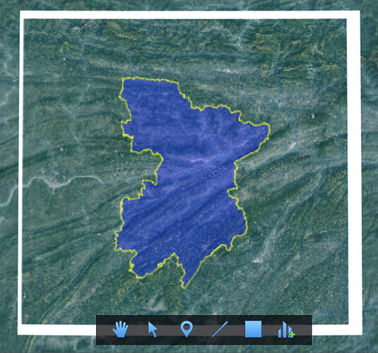
How to draw satellite image with border?

Here’s the code:

set “simage=exportByGlobalMapper2.tif”
gmt set FORMAT_GEO_MAP=ddd:mmF
gmt set MAP_FRAME_TYPE=fancy
gmt begin drawBorderjuxing png
gmt image -R%simage% %simage% -Dx0/0+w15c
gmt plot -JM15c -R%simage% fengjiexian.txt -Wthicker,black,-
gmt basemap -JM15c -R%simage% -Ba10mf10mg10m -BWSen+t"Ambrym"
gmt end
pause
draw by GMT(which is wrong):


the right draw:

Here’s the data:SatellitImageWithBorder.zip - Google Drive
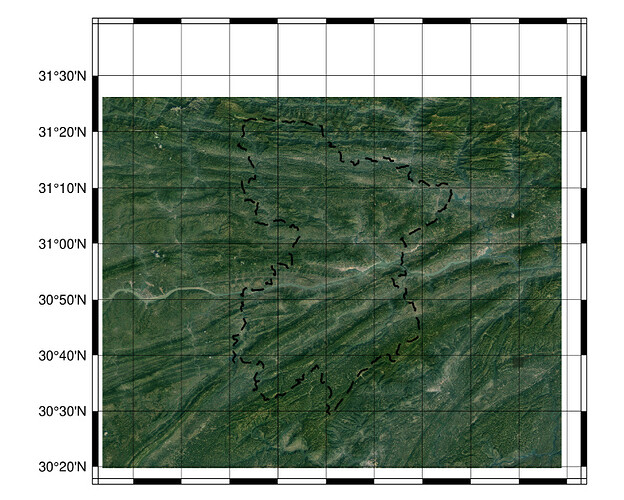
You are changing the projection between the two commands so naturally plots have different sizes.

You need to know the projection of exportByGlobalMapper2.tif and use it in first command only. And in next commands, do NOT repeat -R and -J

Hi,Joaquim!
Question was found,the tiff export by global mapper is wrong.
Is there a command in GMT to convert web mecator to wgs84,which can be applied in satellite image(which have three band)?

The best for it is that you use the GDAL program gdalwarp

Thank you Joaquim!
I’ll try it!
Then show the process on forum!