In a large area map, how to draw the terrain of a specified area in it, with other areas shown in gray.
For example, I’d like to only want to map the United States in colored topography, and map its neighboring Canada and Mexico in gray.
gmt coast -R-130/-70/25/60 -JL-100/35/33/45/12c -Baf  -Dl -N1/thick,red -N2/thin -A5000 -Wthinnest,white -Sblue -Ggray
gmt clip -JL-100/35/33/45/12c -RUS -T
gmt grdimage  @earth_relief_30m  -JL-100/35/33/45/12c -R-130/-70/25/60
gmt clip -C
gmt end show
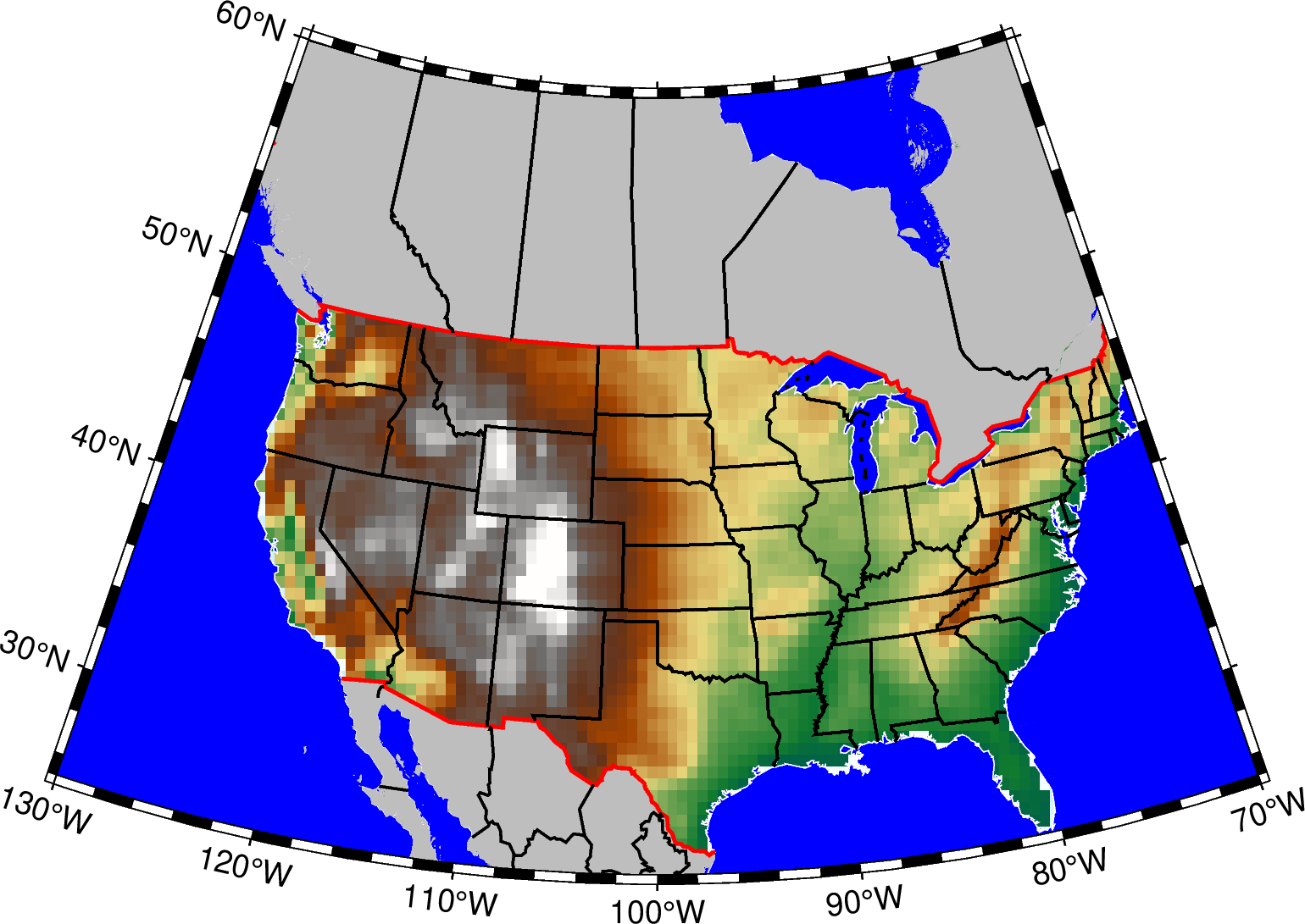
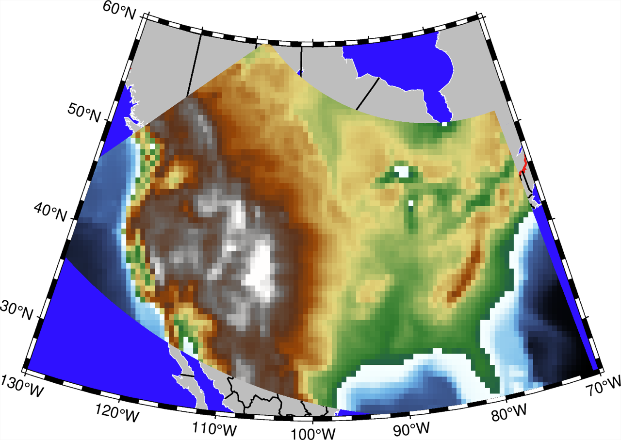
The result is as follows:
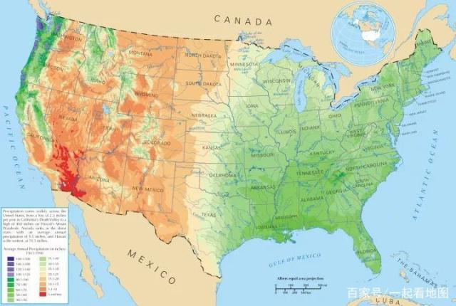
But the result I want is similar to this picture:
How to do it?