Hello @ximoge,
I am wondering if using the -E flag of coast would be easier here instead of clip:
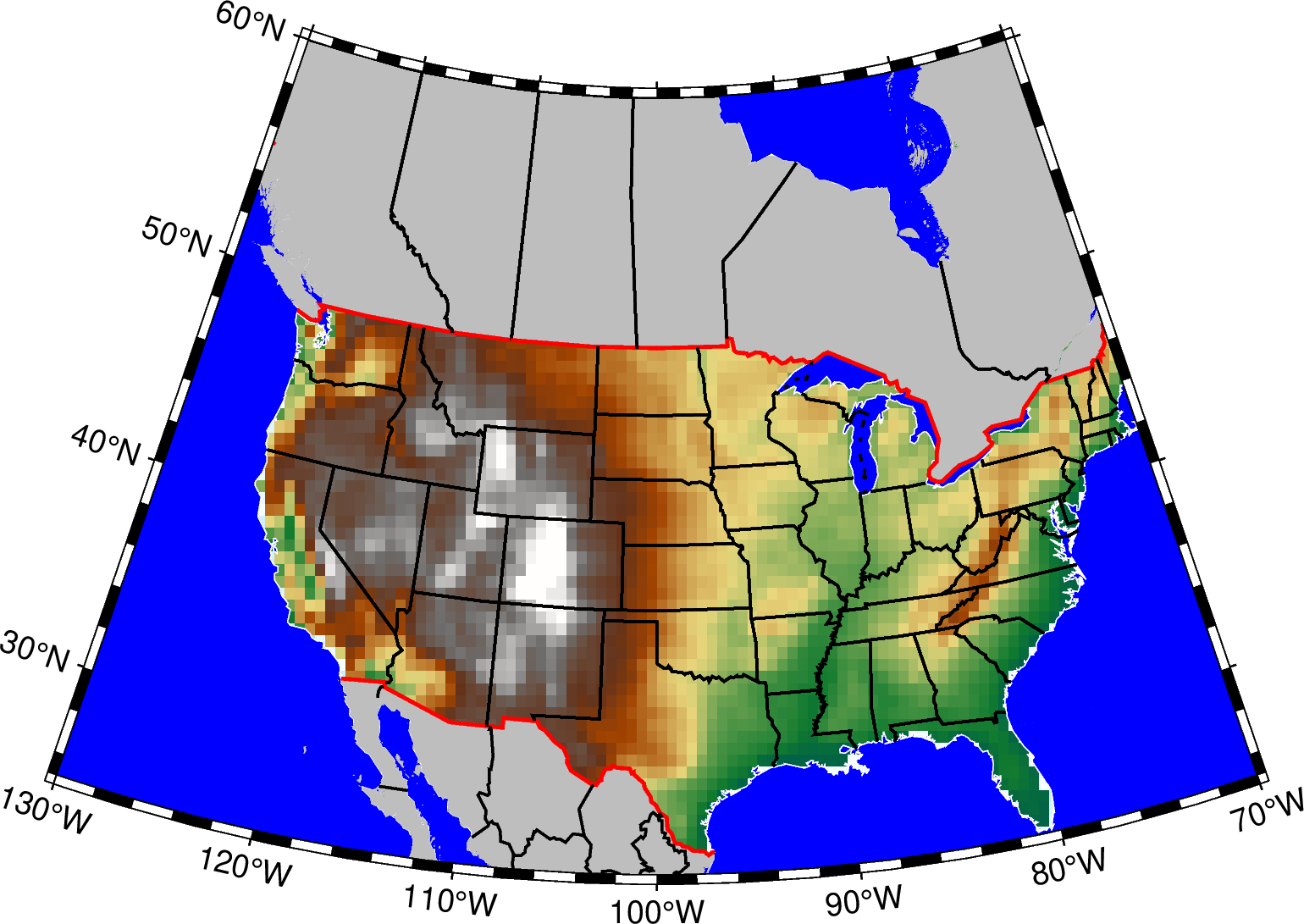
gmt begin usa_dcw_mx_ca png
	gmt grdimage @earth_relief_30m -R-130/-70/25/60 -JL-100/35/33/45/12c
	gmt coast -Baf -Dl -N1/thick,red -N2/thin -A5000 -Wthinnest,white -Sblue -EMX+ggray -ECA+ggray
gmt end show