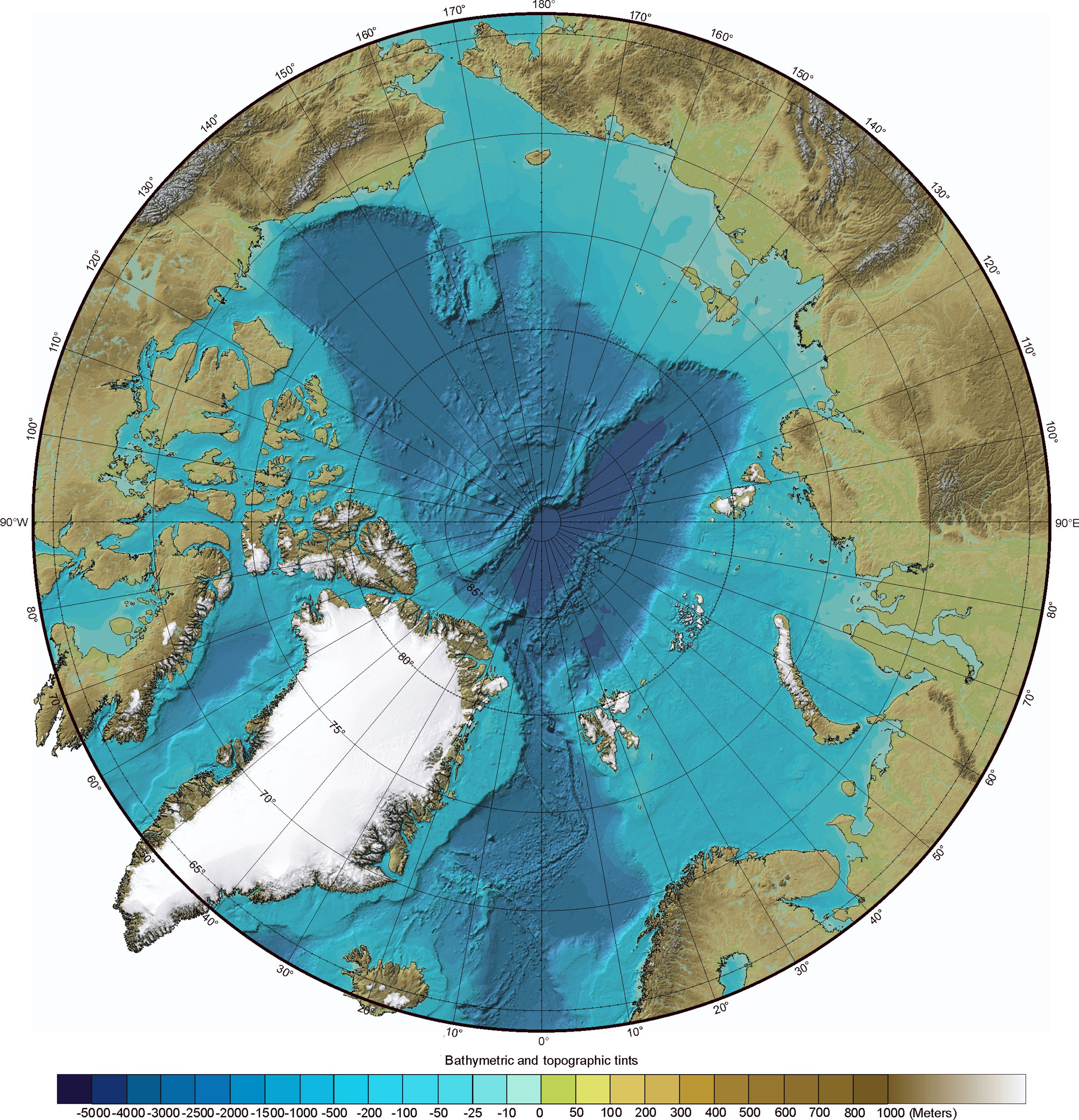
The Ibcao-map has some land masses (Greenland and parts of Nunavut) protruding the map frame, see here.
Can this be done with gmt alone, or do you need some post-figure processing?
The Ibcao-map has some land masses (Greenland and parts of Nunavut) protruding the map frame, see here.
Can this be done with gmt alone, or do you need some post-figure processing?
I believe @PlanetGus has done this already?
You’re absolutely right: Animation : sea-ice v3.
Thanks Paul.