I have created an image using the following commands:
% grdimage grid_file.grd -JM${IMAGE_SIZE}c -R${MIN_LON}/{MAX_LON}/{MIN_LAT}/{MAX_LAT} -C{CPT_FILE_NAME}.cpt -K > ${IMAGE_NAME}.ps
% ps2raster -A -TG -E${IMAGE_DPI} ${IMAGE_NAME}.ps
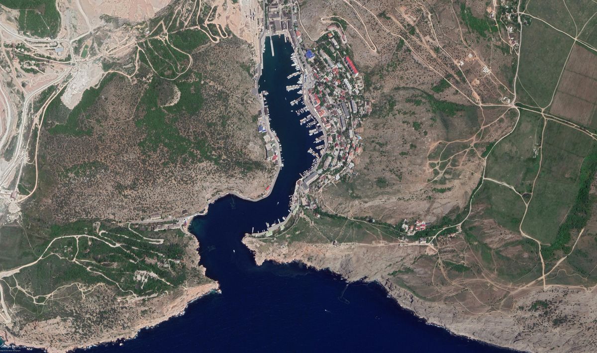
Both built and google images have Mercator projection. It seems that the built one is a bit stretched in vertical direction, hence proportions of the bay are distorted.
Could anybody advice on how to fix this?
Thank you very much for your reply. I have cleared an automation script of everything non-gmt related. Please find attached archive, I hope you will be able to give an advise.
Hmm, all I did was to replace your -JM.. with -Jm1:10000, but that produces an identical plot (except for size). Are you sure that it’s not correct? Is there an error in your grid-file?