Dear GMT Comunity,
I am wondering if there is any why to mimic the “satellite layer” of Google Map or Google Earth? I tried to search any cpt template but haven’t really found it.
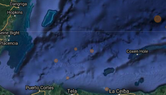
For instance, I found the ocean bathymetry of the Google Map much more accurate visually (I have etopo15 that I believe is no less accurate but I may not be using the best color template).
I attach a screenshot of bathymetry I’m trying to plot with GMT.
Would be very grateful if anyone can help.
Best,
Han