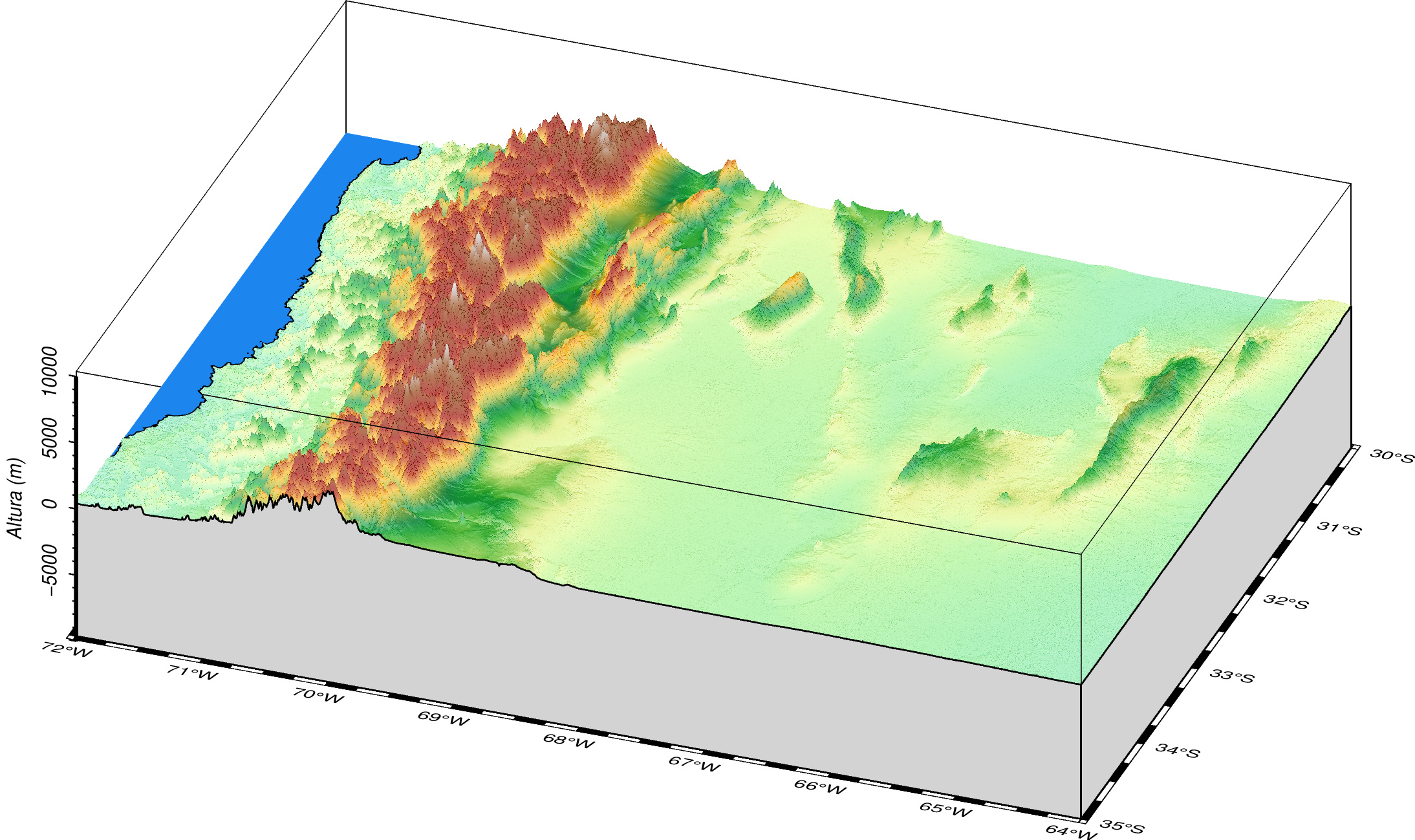
I have an script in classic mode which works fine that I am translating to modern mode. As you can see in the figures below, the frontal facade is not plot and the plane for the sea is plotted at the bottom of the diagram (instead of 0). Where is the mistake? Thanks in advance.
Sintetized commands in modern mode:
gmt begin %title% png
	gmt makecpt -Cdem4 -T0/7000/250 -Z
	gmt grdgradient "GMRTv3_1.grd" -A160 -Ne0.5 -G%SHADOW%
	gmt grdview "GMRTv3_1.grd" -R%REGION3D% -J%PROJ% -JZ%PROZ% -p%persp% -Qi500 -C -I%SHADOW% -N-10000+glightgray -Wf0.5 -BnSwEZ+b -Baf -Bzaf+l"Altura (m)"
	gmt coast -p%persp%/0 -Df -Sdodgerblue2 -A0/0/1
gmt end show
Links:
Modern mode Script:
GMRT Grid

