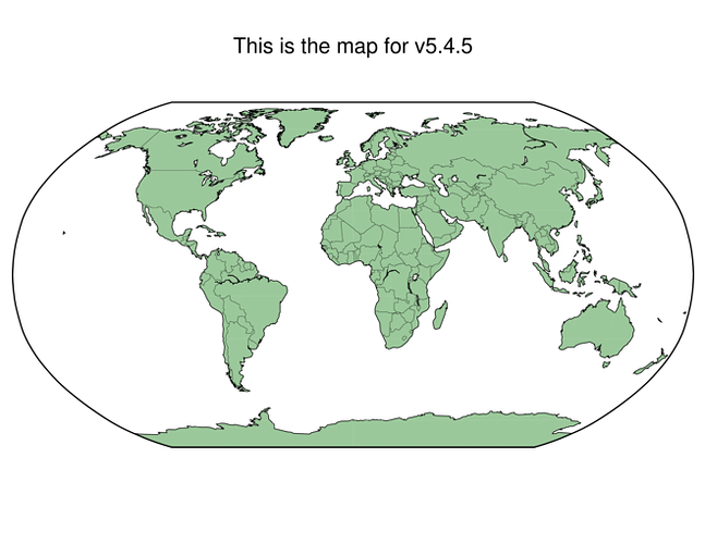
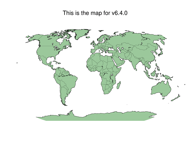
I’m migrating from v5.4 to v6.4, staying in classic mode. The following draws a border around the world map in v5.4, but not in v6.4. It’s the -Bpz1 that does this. How can I get v6.4 to include this?
ver=`gmt --version`

gmt pscoast -Dc -Rg -JN0/27 -S255/255/255 -G155/200/155 \
    -N1 -W0.75p -Bpz1 \
    -B+t"This is the map for v$ver" --MAP_TITLE_OFFSET=1.2 \
    -K -X0.5 -Y3.85 -A10000 --FONT_TITLE=24p > ${ver}img.ps

convert -trim -flatten -density 300 -rotate 90 -geometry 20% ${ver}img.ps ${ver}img.png
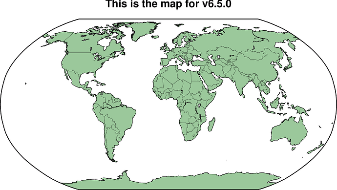
-Bwesn+t"This is the map for v$(gmt --version)" seems working
gmt coast -Dc -Rg -JN0/27 -S255/255/255 -G155/200/155 -N1 -W0.75p -Bwesn+t"This is the map for v$(gmt --version)" -A10000 --FONT_TITLE=24p -png quick
If you can avoid, DON’t . Update to latest (6.5).
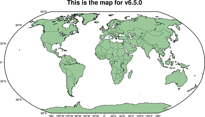
Out of laziness, this is a one-liner modern mode but the detail is is -Ba
gmt pscoast -Rg -JN0/27 -S255/255/255 -G155/200/155 -N1 -W0.75p -A10000 -Ba -png lixo
OG_Meantime:
convert -trim ....
Also, don’t . Use psconvert instead.
Joaquim:
the detail is is -Ba
-Ba produces annotated frame:


