Hi again!
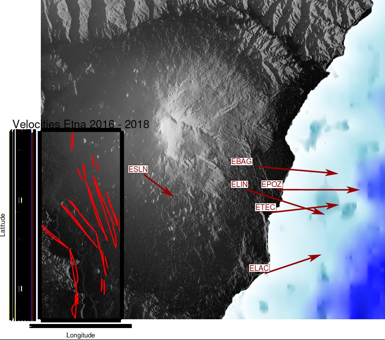
I am experiencing difficulties importing shapefiles into my map using GMT… the shapefiles contain fault parameters and the coordinates are in UTM. I am attempting to plot the fault onto my map using this: gmt psxy TFS_Timpe_faults_system_.shp -R507979/516997/4158052/4179279 -Jx1:300000 -W1p,red -L. However, my computer crashed and the fault is not in the correct position (the region in R). Do you have any suggestions for how I can work with UTM coordinates in GMT 6.5?
Hi, can you be more specific on this? Never heard that GMT crashed a computer. Did you get a “Blue-screen-of-death”?
To your figure, remember that you must use the same coordinate system for grdimage and psxy. So, either project the grid to UTM or the faults to geographics.
Maybe this is coming too late, but there is one thing worth noting for this plot that may have contributed to the “crash.” Did you request that the latitudes and longitudes be printed out every arcsecond (or some very dense value)? Perhaps you ran out of memory or storage space?
Secondly, the spans implied by the -R specification are 9018 x 21227, which looks about right in the graphic, given the -Jx specification. The image is more square, so you might want to check that -R values against the estimated edge values for the image.
Finally, why was adopting a 1:300000 scale necessary? Perhaps adopting a -JXwidth/height specification (upper case X) will work better.