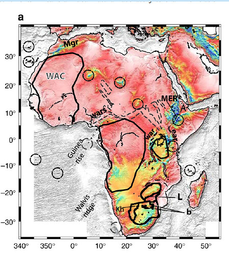
Hello good evening Sir and Ma, I have a question as regards the use of -R i.e the region flag used in gmt. I tried to plot this type of map using -Rg340/52/-40/40 and -Rd340/52/-40/40 but didn’t plot the map region, how can I set the -R flag in my script to have this type of map? many thanks . I am more concerned with the longitude such that my map has similar degree values
When specifying -R you must ensure xmax > xmin, hence you can do 20W/52E or -20/52 or 340/412 but not 350/20. The labeling of the map axis is an entirely different matter and under the control of MAP_FORMAT_GEO etc.
Prof pwessel , many thanks Sir, am very grateful it worked when I tried using ETOPO1.grd which is on a -180 to 180 longitude. However Sir, my data on the longitude in this case only extend from 0 to 360 E on a global domain , how possible is the use of 340/412 in such case with longitude extend from 0 to 360 E not -180 to 180 as other case.
I got it by further practice from what you told me, many thanks Sir, grateful
